LAKE ALMANOR MAPS $10
New Map Points Out ‘Water Trails’ and Finds Kayaking & Shore Fishing Spots
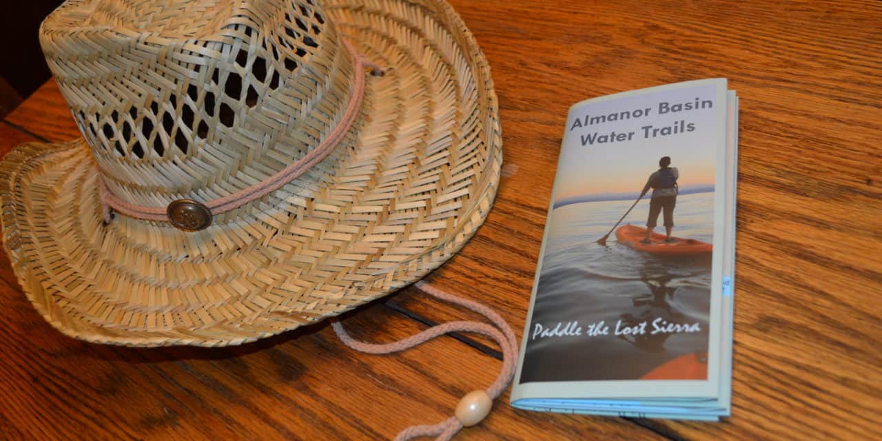
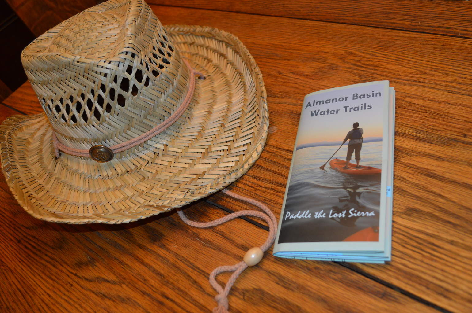
A new waterproof map is now for sale at local businesses and is available from Mountain Meadows Conservancy (MMC), the group that recently published the informative map. The map points out shoreline public access locations, great shoreline and kayak fishing spots on Almanor, Butt Lake, and Mountain Meadows Reservoir. Picture yourself on these three beautiful lakes whose combined surface area is nearly half the size of Sacramento, according to MMC. Kayaking and shore fishing around the waters of the Lake Almanor Basin just got easier with a map to point out public beaches, lodging, dining spots and related retail and service businesses near your paddling adventure.
The map was designed to help guide readers with their paddling journeys around the Lake Almanor Basin. Color coded dots on the map are numbered. It is easy to plan a paddling journey by connecting the dots you want to visit. Chart your journey on the water from the launch to the many other options with shoreline public access to your visit to a local cafe, or place to stay.
Maps are available for $10 at several local businesses including the Coffee Station and Chester True Value Hardware in Chester, and Buffalo Chips Pizza in Westwood. You can also pick up one from Mountain Meadows Conservancy; they are available by phone weekdays at +1.530.256.3982
COLD WATERS: Kayaking in the fall in the Almanor Basin can mean cold waters. Staying along the shorelines will prevent many a tip-over resulting from boat traffic. Traveling in shallow waters may help you easily walk to shore in the event of a spill. To be safe, find out water temperatures before deciding to kayak.
According to live strong.com, “generally, water cooler than 60 degrees Fahrenheit poses danger to swimmers who go for longer than two hours.”
For more fishing spots in Northern California click here.


