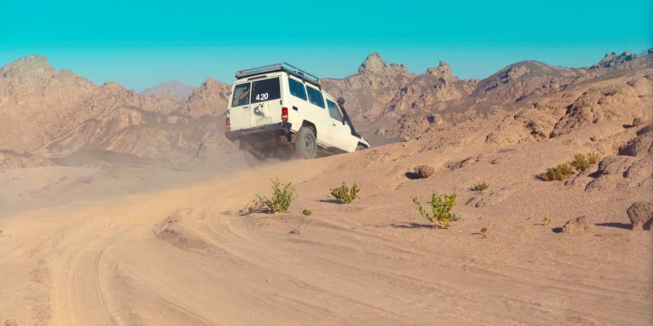
Off-Highway Vehicle Maps, Download For Free
Ten years ago, The Forest Service announced a new regulation that would govern off-highway vehicle use and other motor vehicle use on national forests and grasslands. Each national forest or ranger district is now required to designate those roads, trails and areas open to motor vehicles and display them on a Motor Vehicle Use Map (MVUM).
MVUMs are available for download on The Forest Service Website and maps can be obtained at USFS Ranger Stations. Plumas National Forest draws riders from throughout the region. With several recreational lakes and many fishing streams, the area sees a large population of summer tourists, and with those tourists come their off-road vehicles.

Dispersed camping is allowed across much of the Forest except where other restrictions apply, such as within developed recreation areas. They currently have over 100 designated routes that provide motor vehicle access to desirable dispersed campsites. Many other dispersed sites are immediately adjacent to a designated route and therefore accessible by motorized vehicle. However, you will not be able to drive off designated roads and trails in order to access a campsite. Parking is permitted within one vehicle length of the designated road or trail provided you are not causing resource damage.
There are 4,482 total miles of motorized road, trail and area access on the Plumas National Forest displayed on the MVUM. The MVUM also displays uses allowed by vehicle class (highway/street legal vehicles, vehicles less than 50 inches wide and motorcycles), seasonal restrictions and other travel rules and regulations. Some vehicles may travel on more than one type of route.
Six maps are available in PDF format for Plumas National Forest. They include areas around Jargo Gap, Greenville, Janesville, Quincy, Portola and LaPorte. Find more information on OHV use in Plumas National Forest at http://www.fs.usda.gov/activity/plumas/recreation/ohv. The MVUM is a free black and white map with no topographic features. It is best used in conjunction with a Forest Visitor Map or other topographic map. Maps can be downloaded from the Forest Service website, picked up at Forest Offices or received through the mail by calling (530) 283-2050. MVUMs will be updated annually.
CHECK FOR FIRE RESTRICTIONS
At time of press, there were fire restrictions on the Plumas National Forest.
Plumas National Forest Supervisor’s Office
159 Lawrence Street
Quincy, CA 95971-6025
Tel: (530) 283-2050
M-F


