[media-credit name=”Laraway Conlee Creations” align=”alignnone” width=”300″]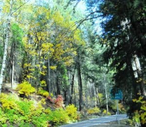 [/media-credit]Some scenic beauties are great for those who want to take an actual hike of several miles; while others are perfect for those who wish to simply take a break from the road and stretch their legs, rest their eyes with a new vista, and perhaps take a photo or three to add to an album or send to someone. Deer Creek, along Highway 32 in Tehama County, provides opportunities for both. With both an Upper and Lower Deer Creek Falls (with elevations below 4,000 feet), the usual season of March through August allows plenty of time to take advantage of this northern California scenery. For those heading down Deer Creek from Highway 36 in Lassen and Plumas counties to Highway 32, watch for the turnoffs to the upper falls and the lower falls on the left side.
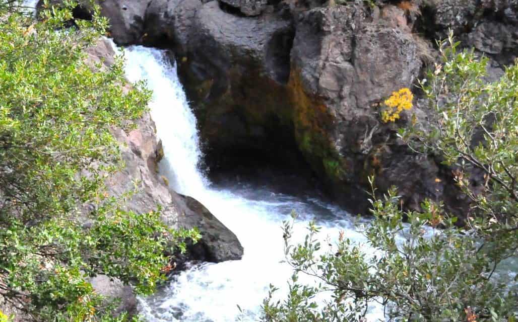
After Elam Campground, and shortly before Potato Patch Campground, a “Deer Creek Falls” sign on the left indicates a small turnout for about 4-5 cars for the upper falls. Across the road on the right is a hill covered mostly with deciduous trees. This falls is the closest to the road- just a few hundred feet down a fairly steep incline to the rocks above the falls. It is a bit more of a clamber down to the creek at the base of the falls, and is not recommended for the casual stop. The 12 foot drop of the falls is not huge for a straight-drop falls, but is nevertheless a very different view than you get of Deer Creek from the road. The multi-colored lichens and mosses nestled into the rock overhang on the far side of the falls are very interesting and add to the peculiar beauty of this falls. Many kinds of vegetation surround the area. Do watch for poison oak.
The trailhead for the 3,000 foot elevation Lower Deer Creek Falls is on the Chester side of the rust-colored steel-trussed bridge–the turnout is just before reaching the bridge. I have not yet hiked the 3.5 mile round trip to the lower falls myself, but the trail leads downstream on the right side of the creek to the 20-foot cascading falls and fish ladder. The trail is reputedly well maintained during the season, and is of moderate difficulty with gradual ups and downs. This is said to be a more spectacular falls, so if you have plenty of time to take the longer trail, be sure your camera is ready to roll. Your pack should contain water, of course, and a picnic lunch might be in order.
For more information about both of the Deer Creek Falls, and safety precautions, call the Almanor Ranger District office at (530) 258-2141. Enjoy your short “breather” or your longer hike!
[media-credit name=”Laraway Conlee Creations” align=”aligncenter” width=”400″]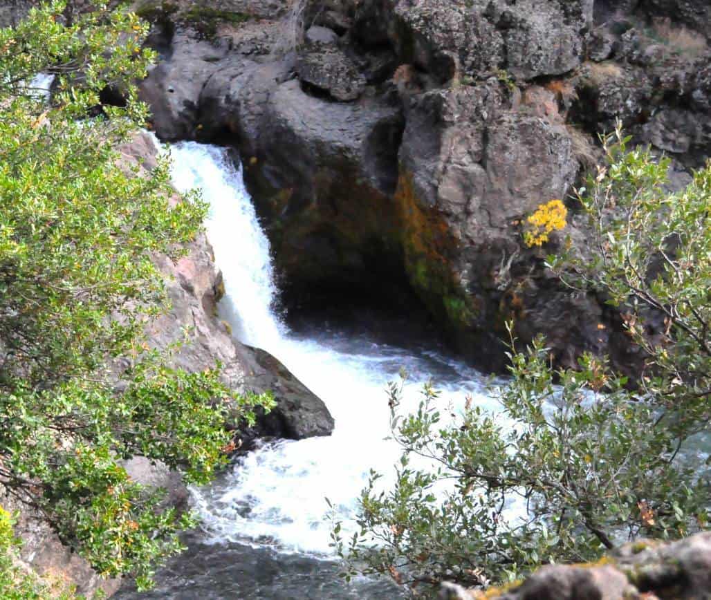 [/media-credit]


